Irripedia
Field survey app for irrigation land-area and elevation data
Dev LeadFullstack Developer
Context
Irripedia is a field-survey tool built for Daya Santosa Rekayasa, an irrigation engineering firm, to digitize land surveys that were previously recorded on paper in the field.
Technical challenge
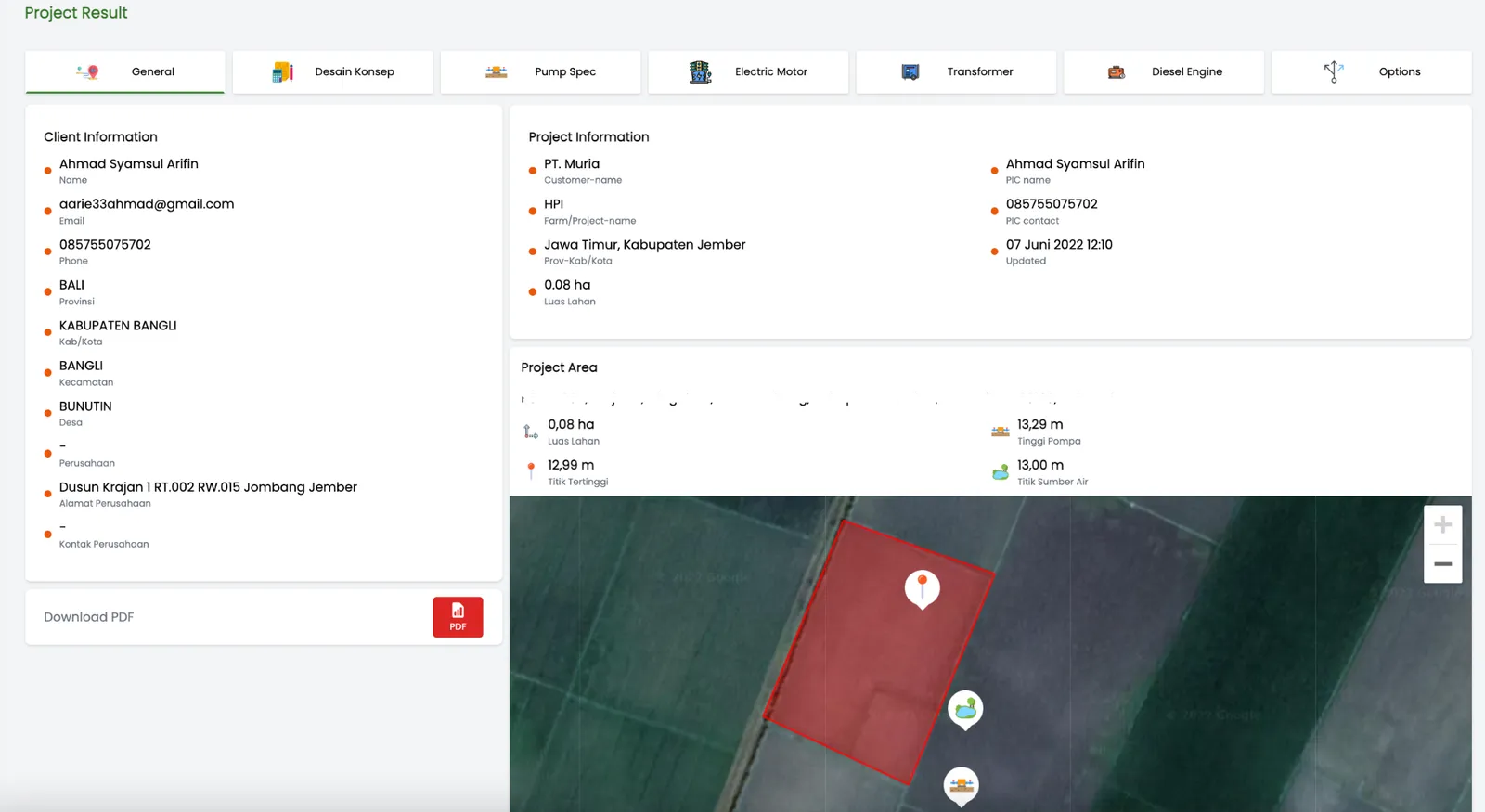
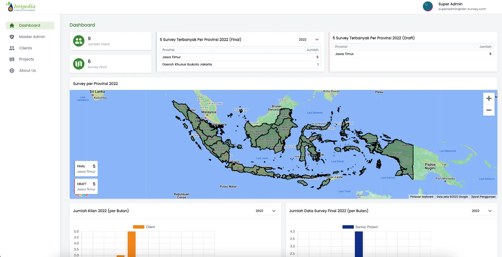
Map-based data capture — marking survey locations, computing area and elevation from field input, and summarizing saved locations on a map view.
Key features
- Land survey: location marking, area and elevation calculation, data entry
- Map view: summary of saved survey locations